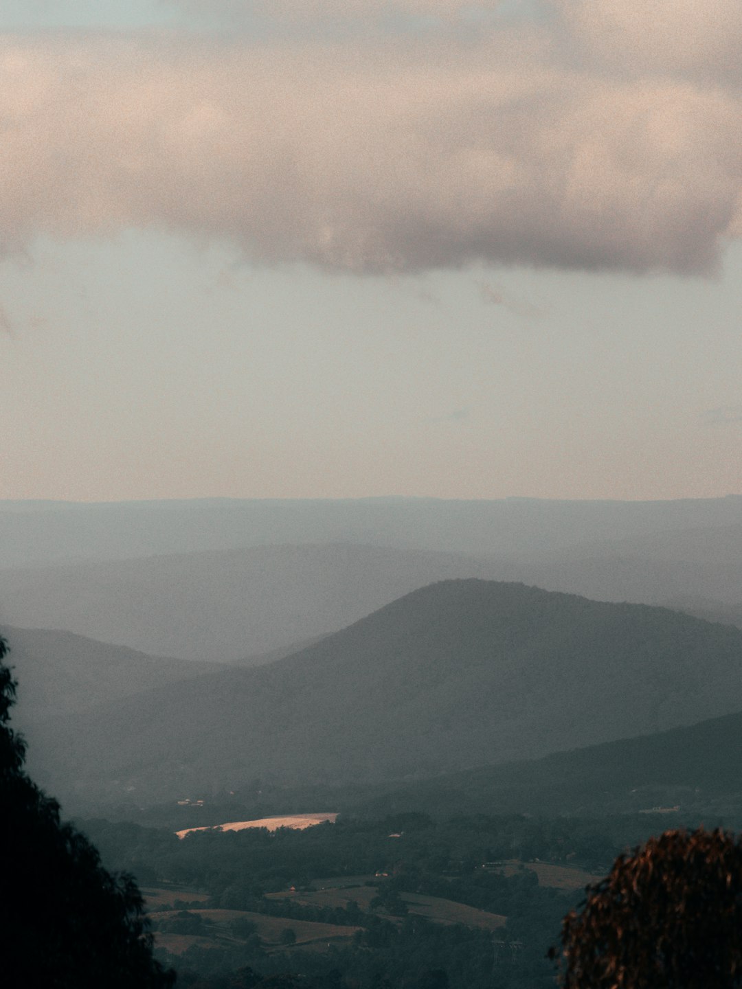
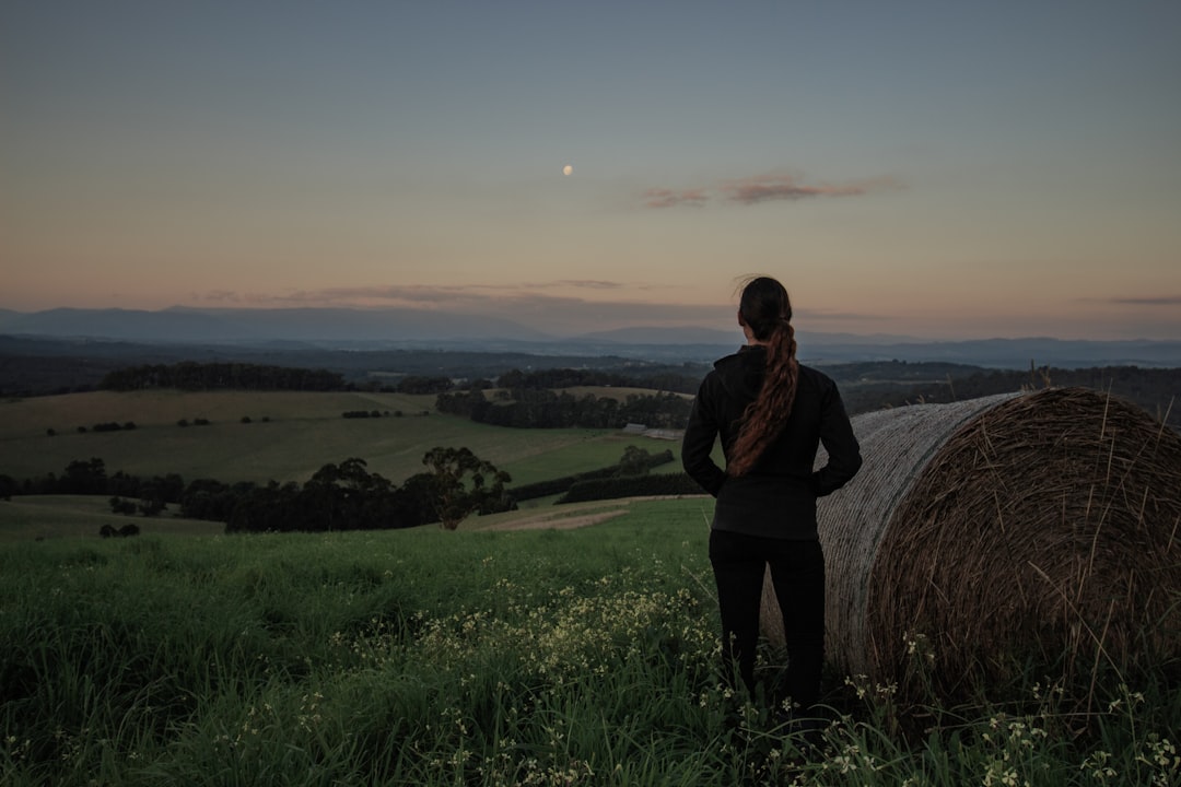
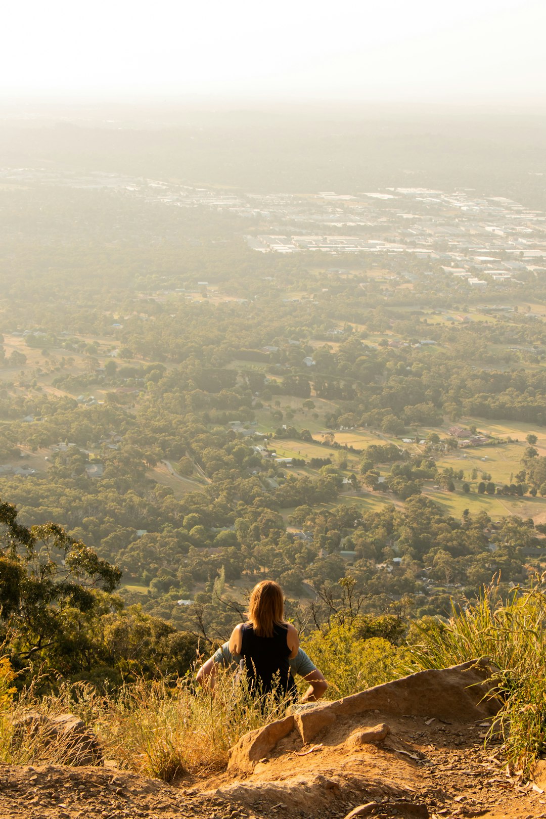
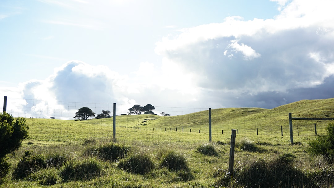
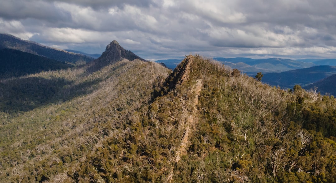
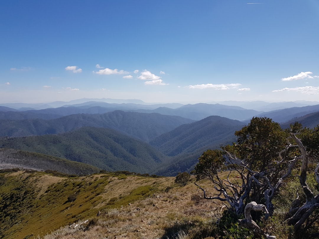
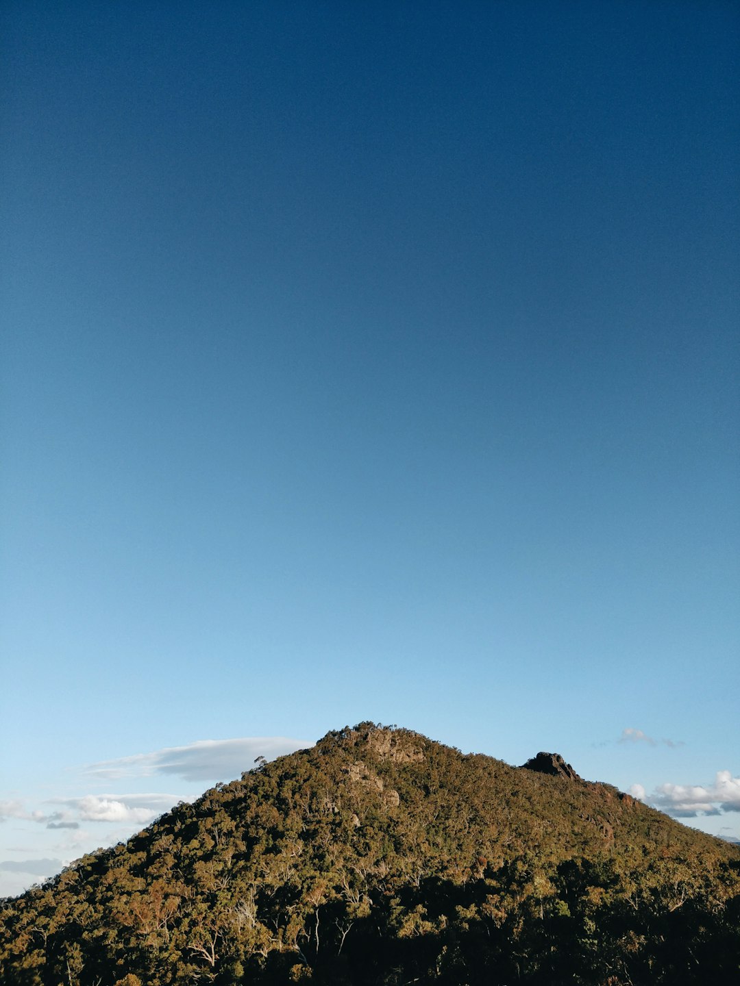
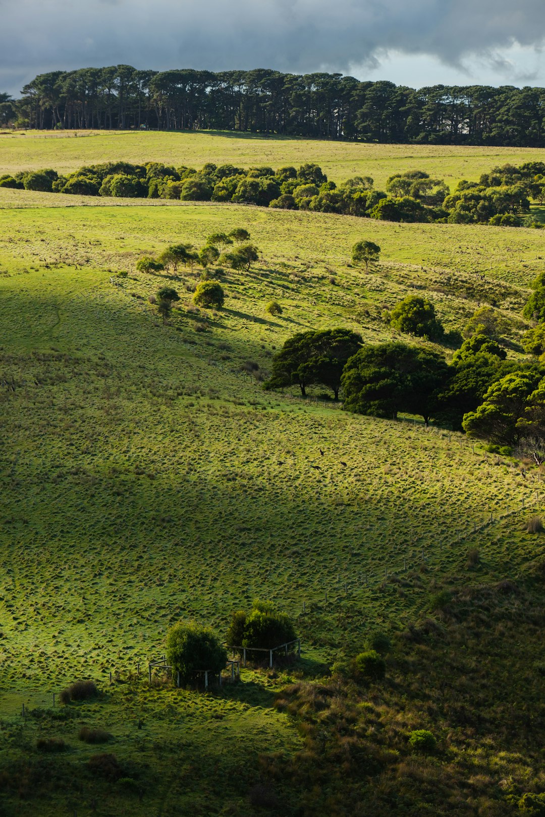
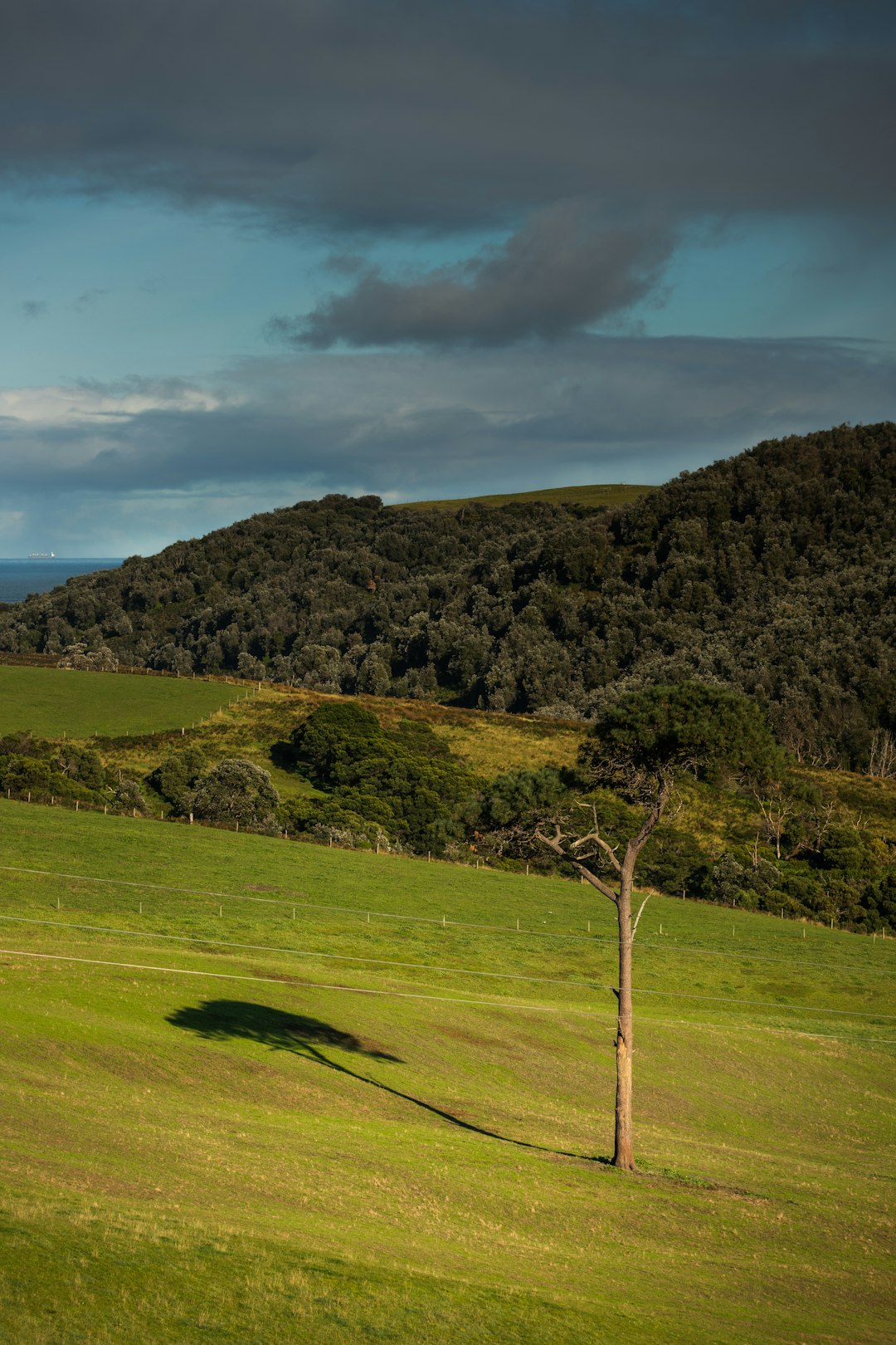
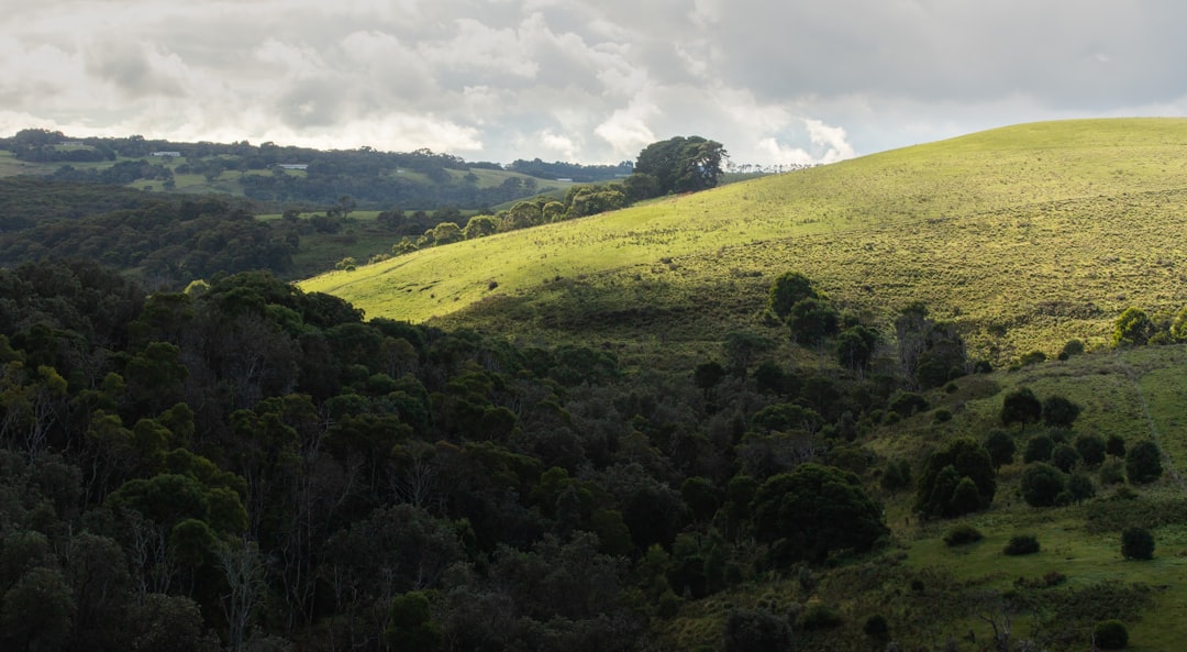
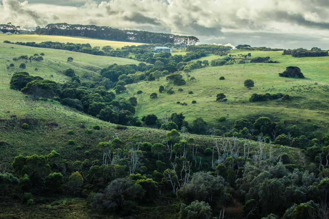
The Best Hill Photo Spots around Olinda VIC in Australia
Explore Hill pictures of Olinda VIC with the travel spots on a map
Download the Travel Map of Australia on Google Maps here
10 Hill Spots of Olinda VIC on a Map
Pictures of Hill on the interacive map of Olinda VIC
Download On Google Maps 🗺️📲Hill Spots and Pictures around Olinda VIC
Discover popular destinations in Olinda VIC with their travel guides
Dandenong Ranges Botanic Garden
Read the Travel guide View on Google Maps
Dandenong Ranges
3 km away from Olinda VIC
Read the Travel guide View on Google Maps
Melbourne
36 km away from Olinda VIC
Read the Travel guide View on Google Maps
Mornington Peninsula
54 km away from Olinda VIC
Read the Travel guide View on Google Maps
Neerim South
56 km away from Olinda VIC
Read the Travel guide View on Google Maps

Cathedral Range State Park
61 km away from Olinda VIC
Read the Travel guide View on Google Maps
Victoria
67 km away from Olinda VIC
Read the Travel guide View on Google Maps
Blowhole Track
78 km away from Olinda VIC
Read the Travel guide View on Google Maps
Cape Schanck VIC
79 km away from Olinda VIC
Read the Travel guide View on Google Maps
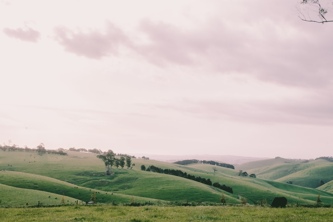
Mardan
94 km away from Olinda VIC
Read the Travel guide View on Google Maps
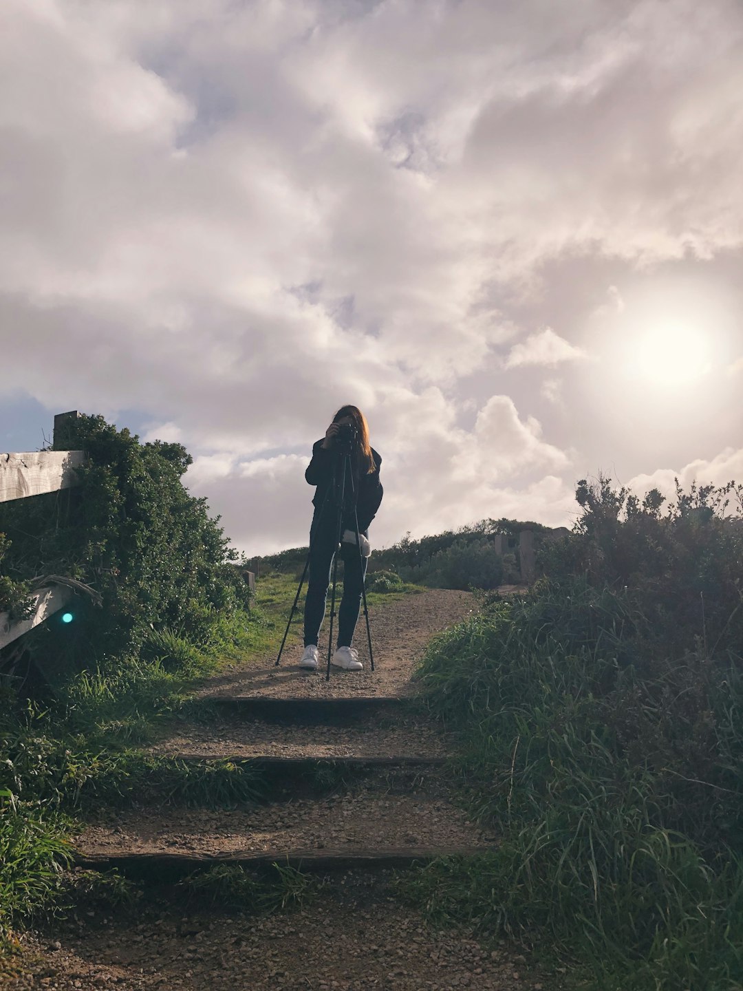
Book your Travel Experience in Olinda VIC
Discover the best tours and activities in Olinda VIC and book your travel experience today with our booking partners
Learn More about Olinda VIC
Find Hotels in Olinda VIC
Discover the best hotels around Olinda VIC, Australia and book your stay today with our booking partner booking.com